Posts tagged Maps
-

The Blue Line and downtown jobs
Students from the GMU School of Public Policy released a report on “Access and Circulation on the National Mall.” It contains this graphic, showing the locations of jobs (as of 2002, hence the low numbers of jobs in areas like NoMA and the missing NY Ave station) and Metro stations. Keep reading…
-
Metro 2030, WMATA edition
I made a slightly altered version of my Metro 2030 map for WMATA at their request. Reader Yonah just pointed out that they officially used it in the presentation and press release from GM John Catoe last week. I’ve also been helping MWCOG to make a variant of this map including rapid bus corridors. Keep reading…
-
Really cool 1954 Boston subway diagram
Vanshnookenraggen has this amazing historic drawing—part map, part artistic rendering—of the Boston subway and elevated rail system as it existed in the mid-twentieth century (sometime between 1929, when the Ashmont-Mattapan High Speed Line opened (lower left), and 1964, when the MBTA replaced the MTA and gave the lines color designations). Keep reading…
-
Tweaked Rosslyn station on Metro 2030 map
Jim Hamre of WMATA pointed out that Metro’s current thinking on the separate Blue Line is that it would have to run one block west of the current Rosslyn station, to a new set of platforms connected by an underground walkway. I had hoped that the new tracks could pass right next to the old ones enabling a cross-platform transfer (after all, Rosslyn already has the two tracks on separate… Keep reading…
-

What WMATA is really suggesting
Metrorail is nearing its capacity, with heavy load in many key points throughout the system. At last week’s WMATA board meeting, staff presented recommendations for capital improvements to increase capacity at the bottlenecks. Press outlets covered the topic, but often with confusion on details. WTOP covered the Georgetown/M Street proposal but wrote that the new… Keep reading…
-
Transit vision roundup
Track Twenty-Nine has a new transit vision map of potential Metro and light rail expansion for the Washington region. I’ve also uploaded a minor tweak to my light rail and commuter rail map. Here is a quick roundup of all the recent Washington area transit vision maps. These maps and the various lines in them span a wide range of levels of realism, from serious proposal that’s… Keep reading…
-
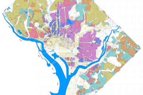
Finding the right buffer
As I wrote on Monday, DC Office of Planning is considering a “buffer zone rule” that would require parking in multi-unit apartment buildings if they are within 400 feet of a low- or moderate-density residential building. As I argued, that rule is too broad. Keep reading…
-
Throwing the baby out with the 400-foot buffer
The draft parking zoning rules include a provision that multi-unit residential development still needs to construct 1 parking space per 3 units if it is within 400 feet of a low- or moderate-density residential zone (R-1 through R-5-B). Keep reading…
-
BeyondDC’s map
Continuing the trend of transit expansion maps like mine and Track Twenty-Nine’s, Dan of BeyondDC has a transit vision. He won’t call it a “fantasy map” because this is no fantasy: by building only half the Silver Line and using the money for more streetcars, the construction cost ought to be little more than what has been seriously proposed in recent years. Keep reading…
-
Post streetcar map
The Post has a good map of proposed streetcar and BRT routes, modeled off the ones from DDOT and others that I use in my map. Via Richard Layman. Keep reading…