A bike trail next to a busy freeway is better than none in San Diego–and in Centreville?
_1200_875_90.jpg)
The SR 15 Bikeway connects San Diego's Mid-City neighborhoods to Mission Valley along the shoulder of a freeway. Image by Brad Walters.
San Diego just opened a new bike trail that has one big similarity to the one planned along I-66 in Centreville: it runs right along a busy freeway.
The SR 15 Bikeway connects Adams Avenue in San Diego's Mid-City neighborhoods–which are atop a hill–with Mission Valley along State Route 15. The roughly 1-mile trail is a much-needed connection in the regional trail network, cutting a roughly 2.4-mile circuitous route on surface streets by more than half, according to Google Maps.
San Diego's new SR 15 Bikeway trail cuts a more than two-mile trip in half. Image by Google Maps.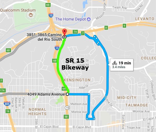
“It's a key mile, providing a gradual 300-foot climb completely separated from traffic,” local cyclist, and former DC-area resident, Brad Walters tells Greater Greater Washington.
The the new SR 15 Bikeway in San Diego runs adjacent to the 15 freeway. Image by Brad Walters.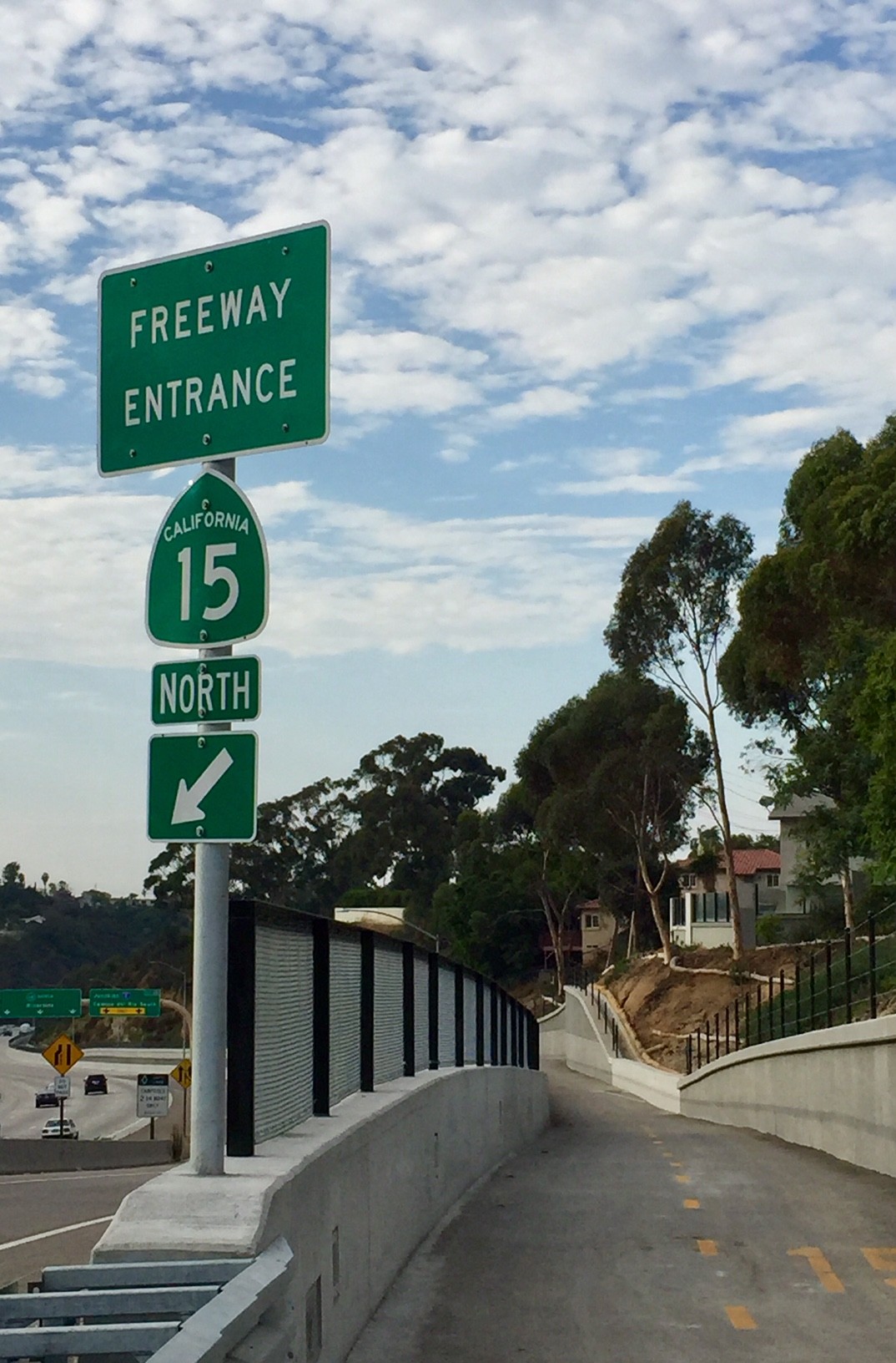
Asked about the trail's proximity to the SR 15 freeway, Walters says:
I don't mind that it's directly adjacent to the freeway; I barely noticed the traffic at all compared to the up-close-and-personal interactions I'm used to when riding on the roads here. Just having the separation is a win; in fact, this is arguably the safest, most comfortable piece of bike infrastructure in the city core right now.
A cyclist climbs the new SR 15 Bikeway in San Diego. Image by Brad Walters.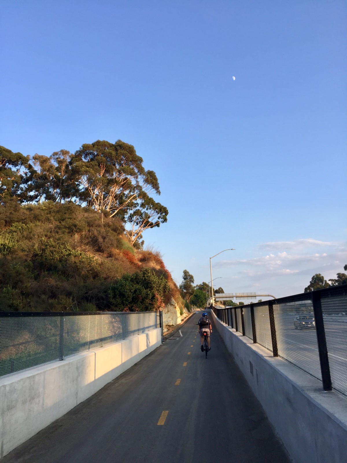
Better than no trail?
The Virginia Department of Transportation (VDOT) plans to extend the Custis Trail along I-66 as part of its Transform 66 project. This could create one of the longest trails in the Washington region, up there with the 45-mile long W&OD trail.
The catch? Roughly five miles of the 16.5-mile trail extension will be directly adjacent to traffic on I-66 due to homeowner concerns over a trail in their backyards, The Washington Post has reported.
VDOT wants a bike trail on the shoulder of I-66. Image by MPD01605.
This decision has sparked complaints from local cycling advocates, and some Virginia lawmakers have called the design “insufficient” and potentially hazardous to trail users' health. In September, Virginia transportation secretary Aubrey Layne chimed in claiming any changes to the trail could jeopardize and delay the $2.6 billion highway widening project.
A multi-use trail next to freeway traffic is far from ideal. For all the reasons already mentioned and others, it would be better to at the very least place the trail on the opposite side of the sound barrier rather than by the highway.
“That would make it more accessible, more safe, more pleasant, and more practical as a transportation connection,” wrote Greater Greater Washington contributor Canaan Merchant on the issue in June.
But, as Walters points out, a good trail connection next to a freeway is better than no trail at all.