Here are the answers to whichWMATA week 101

On Tuesday, we featured the one hundred first challenge to see how well you knew the Metro system. Here are the answers. How'd you do?
This week, we got 23 guesses. 8 got all five. Great work, Jay, Peter K, AlexC, ArlFfx, dpod, Solomon, Stephen C, and We Will Crush Peter K!
The first image was fairly distinctive picture of Rhode Island Avenue. The station platforms here are high above the eponymous avenue, and the two pedestrian bridges visible here are unique. The long undercrossing beneath the CSX Metropolitan Subdivision is also a clue.
22 knew the answer.
The second image shows some elevator wayfinding at Shaw. Metro has been installing signs like this at stations with more than one entrance or an elevator location that is not readily visible from the main entrance. The streetlights here should have helped narrow this down to DC. The main clue here is just barely visible. Under the word 'left' on the sign, you can see the top of “S St”, which should narrow things down a bit. It helps riders locate the elevator at 7th & S NW, which is right above Shaw station. The building at right may have also helped you find the station.
19 got it right.
The third image shows the pedestrian bridge at Rockville that crosses MD 355. There are several glass-sided bridges in the Metro system, but the others are along the I-66 portion of the Orange Line, and those bridges are all wider and straight. Rockville's is narrow and curves at one end.
18 guessed correctly.
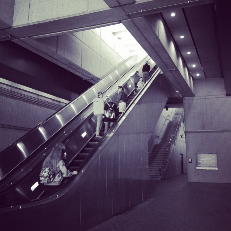
This picture shows the northern mezzanine at Huntington. This station is particularly unique because of the topography surrounding the station. From the north, the Yellow Line approaches on a long viaduct over I-495 and Telegraph Valley. But as it crosses over Huntington Avenue, the ground begins rising rapidly, and the southern end of the station is at a portal where the tail tracks enter a subway. That means the northern (Huntington Avenue) mezzanine is under the platform while the southern (Kings Highway) mezzanine is above it.
Because of the topography, the ceiling in the northern mezzanine is a bit higher than is typical. Other clues include the passageway to the elevator (to the right of the stairway), and the flat roof above the platform, which is barely visible above the escalators.
12 found the solution.
The final station, Virginia Square, was easy to narrow down to some semi-finalists, but it was hard to narrow down to the correct answer. AlexC pointed out this difficulty on Twitter, and I told him to catalog everything he could get from the picture. Let's do that.
First, we can see from the sign that this is a station that is served by both the Orange and Silver Lines, but not the Blue. That means it's one of only 5 stations. Being underground eliminates East Falls Church and having side platforms eliminates Court House. That leaves Ballston, Clarendon, and Virginia Square. What else do we see?
The sign yields another clue. At Ballston, the “tuning fork” mezzanine points west (the mezzanine is at the eastern end of the station). That means looking at the station from the mezzanine, the Vienna track would be to the right and the New Carrollton track would be to the left. That's not the case here. So that eliminates Ballston.
Clarendon and Virginia Square have similar mezzanine layouts that both point east, so the sign won't help us anymore. At Clarendon, the passage to the street escalators is to the north, while at Virginia Square it's to the south, but that passage isn't visible, so that won't help.
What about the far wall? That's where the solution lies. And there are two ways to get the answer. For one, at Clarendon, the mezzanine is close to the center of the station, whereas at Virginia Square, the mezzanine is almost at the western end. The wall is too far away for this to be Clarendon. But that could be hard to judge, so you'd be forgiven for missing that clue.
The whole set actually offered a clue to this point. The other four pictures were black and white, but this one is in color. Why? Because in black and white, you wouldn't be able to tell that the lights in the tunnel beyond the end of the platform are blue. The blue lights show the location of emergency telephones and third rail trip stations. But more importantly, if this picture weren't in color, you might think these lights were red, which would be the case at Clarendon, because there's a double crossover at the eastern end of the station, and the interlocking signals would be visible.
13 came to the correct conclusion.
Thanks for playing. We'll be back March 14 with our next contest.
Information about contest rules, submission guidelines, and a leaderboard is available at http://ggwash.org/whichwmata.


