You can see “scars” from old rail lines all over today’s maps of the region
As places change, linear routes like rail lines and canals sometimes turn into new roads or trails. Other times, the old lines stay on the map but become harder to spot.
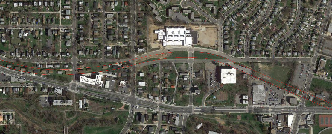
In Deanwood, a line of houses curves along what used to be a railroad route. Images from Google Maps unless otherwise noted.
Typically, new roads or trails replace the long, narrow rights-of-way, which means the shapes you see on a map are the same, they just host a different mode of transportation. In our region, the Georgetown Branch Trail is named for the former Georgetown Branch of the B&O railroad that it follows. Old Dominion Road in Virginia follows the route of the former Washington and Old Dominion Railroad.
But in some cases, open land left behind by railroads is sometimes rezoned and filled in with buildings. When that happens, the historic lines might become something like what you see in the image above, where the line of houses along Nannie Helen Burroughs Ave NE in Deanwood curves along what used to be a railroad alignment that ran to Seat Pleasant and beyond.
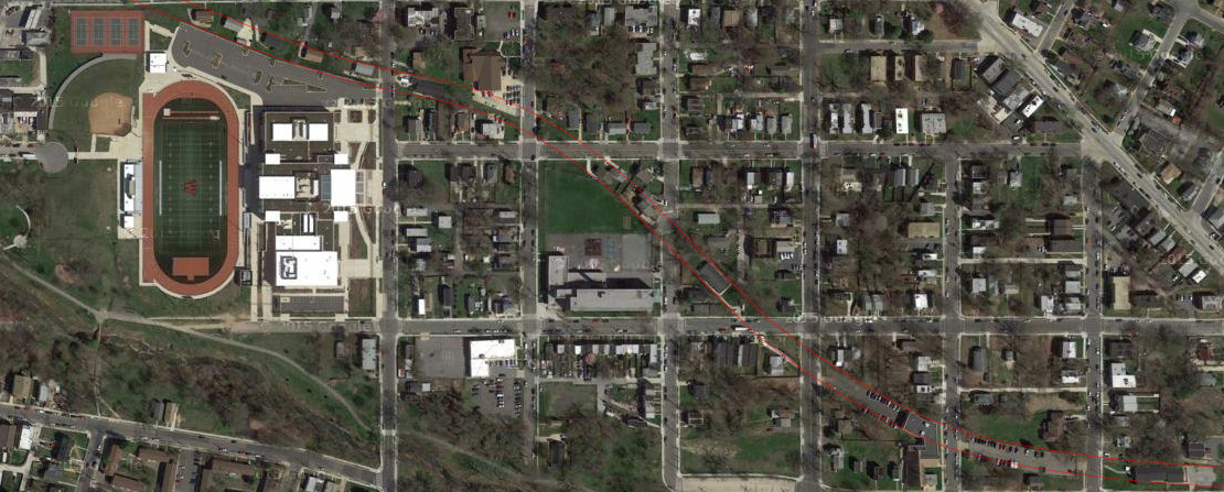
Here’s another shot from Deanwood:
Writer Geoff Manaugh observed that such buildings resemble scar tissue, and blog Web Urbanist coined the term “scarchitecture” for this phenomena.
With the Deanwood examples, there’s even clearer evidence of this alignment in the DC Zoning parcels that the buildings occupy.
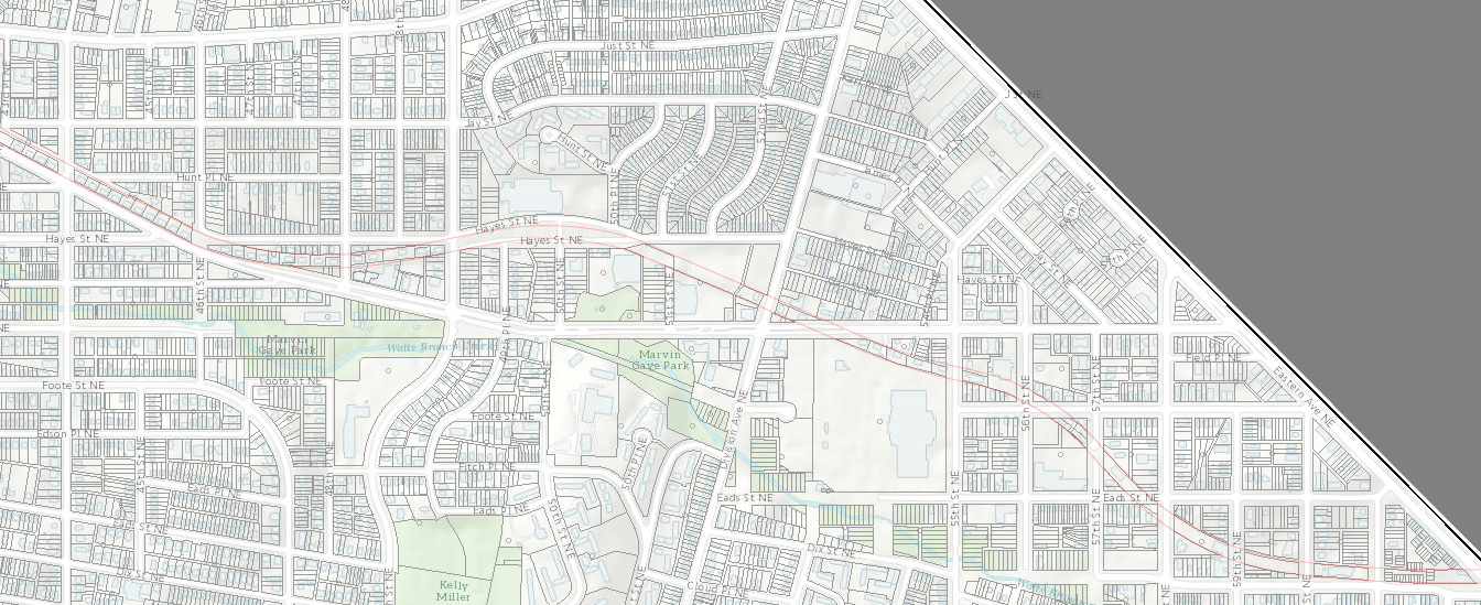
Image from the DC Zoning Map.
Another great example of this happening in DC is at 7th and K Street NE, where there’s an alley that follows an old rail line that ran down West Virginia Avenue.

Just southeast of where West Virginia Avenue hits K Street, you can see an alley that follows the rail line that West Virginia Avenue replicates. Image from Google Maps.
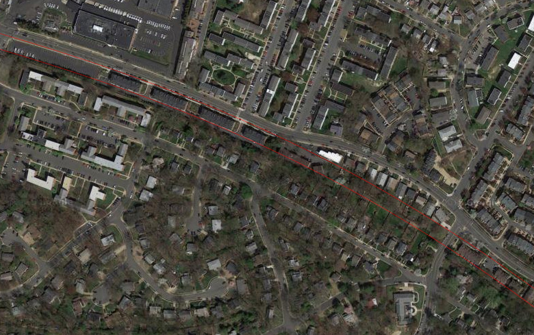
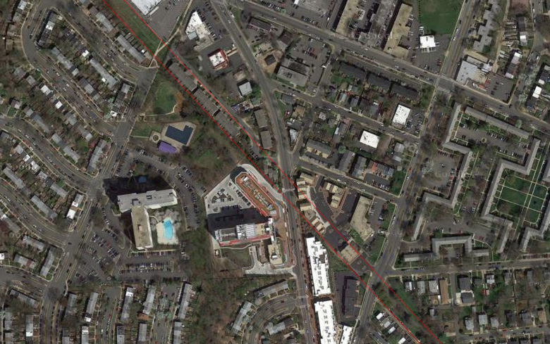
Another examples is the southern end of the Washington & Old Dominion Railroad. Here’s a section of the former route along West Glebe Road in Alexandria:
And here’s one from along Four Mile Run Drive in Arlington:
Have you seen any examples of this phenomena in the Greater Washington region? Let us know in the comments!