Open Rock Creek Park to people. Close it to cars.
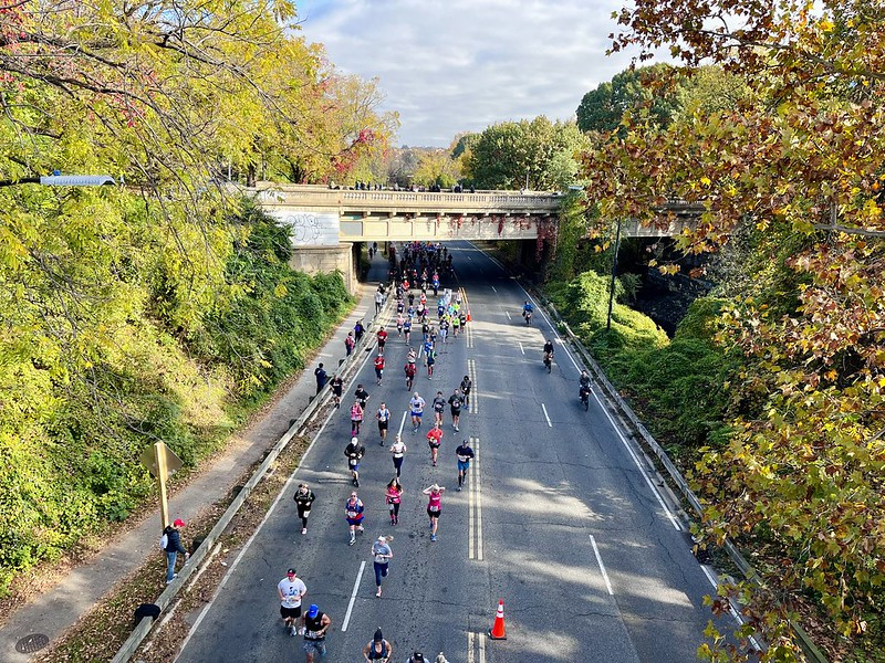
The 2022 Marine Corps Marathon in Rock Creek Park by Joe Flood licensed under Creative Commons.
The pandemic closure of Beach Drive to drivers – and so its opening to everyone else – has been a wild success, transforming that part of Rock Creek Park into a haven for bicyclists, walkers, joggers, and anyone else who wants to enjoy one of America’s largest urban parks. It is well past time to expand on this success and open the rest of the park.
What’s there now
Rock Creek Park is crisscrossed by roads: Rock Creek Parkway, Military Road, Broad Branch Road, Piney Branch Parkway, and more. They pollute, add noise, kill wildlife, and color the enjoyment of the park with just a touch of the feeling one gets while standing on a highway shoulder. Among the many unpleasant locations is the tunnel along Beach Drive, which recently got a bicycle bypass that closes after 5 pm. While there are sidewalks, they’re so narrow it’s difficult to pass by people coming the other direction, particularly if walking a bicycle. Cars and parks are, as GGWash once put it, a match made in hell.
The busiest road in the park, by far, is Rock Creek Parkway, which hosted an average of about 52,000 vehicles per day in 2019 and 38,000 in 2020, the latest data available. Military Road, the second busiest, saw just half as much traffic. At the south end, feeding into the park, is Rock Creek and Potomac Parkway, running beneath the Kennedy Center along the Potomac River, which saw 46,000 vehicles per day in 2019 and 34,000 in 2020.
Some of these roads are vital to the functioning of the park, serving picnic spots or other attractions. Others serve as vital east-west connections, such as Military Road. One, Broad Branch Road, serves homes along its non-park frontage. However, most typically function as thoroughfares, moving people between places outside the park. These roads use the park as a convenient right-of-way to avoid intersections rather than serving as an enhancement to the park.
Beach Drive just south of its now permanent closure. Image by Chelsea Allinger. Used with permission. 
Strategic closure
To get cars out of all but the necessary roads, a set of strategic closures will be needed, closing all but those important roads that truly serve the park or which are absolutely necessary to get people from the east to west sides.
Military, Porter, and Klingle would be the only through roads kept open (along with the bridges over the park, of course). Short dead-ends might be allowed for picnic area access, with the main ones being Glover Road off Military Road, Tilden Street, and Blagden Avenue, but most of the rest would be bicycle- and pedestrian-only.
Heaven or Carmageddon?
Closing some of the less well-used portions of the park’s network, like Piney Branch Parkway, would have little impact on the functioning of the traffic network. Anecdotally, when Piney Branch was closed for repairs of the 16th Street Bridge above it, there seemed to be very few negative side effects on neighboring roads. Other, less-well-used streets, like Morris or Ridge, would probably have even less of an impact. But there are a few tricky parts.
Broad Branch Road
Broad Branch Road serves as both a park road and an access road to homes in the Forest Hills neighborhood. It’s a popular running and bicycling spot - as well as one of the preferred commuting shortcuts of this author’s Waze app - but it has no sidepath to accommodate them alongside drivers. Wedged as the road is between a steep hillside and its namesake, Broad Branch, there isn’t enough space to add one either.
To fix this, Broad Branch should be one-way southbound between Davenport Street NW and Brandywine Street NW. A short, narrowed, two-way segment would serve the house at 4838 Broad Branch Road NW, which is the home on Broad Branch between Davenport and 27th Street NW. Another 650 feet of Broad Branch Road after 27th would be closed and a new sidepath built along the rest of the now-dead-end road until Nevada Avenue NW.
Rock Creek Parkway
This deadly, reversible road is in dire need of change. With 38,000 vehicles per day and likely climbing, the parkway funnels traffic north from Arlington Bridge and Georgetown to Dupont Circle and Woodley Park, with Beach Drive carrying them onward to Cleveland Park, Mount Pleasant, and Crestwood. Surface streets carry them to nearby neighborhoods from there. Closing the road, though, would be just like a highway removal in other cities.
Traffic reduction is a well-established phenomenon in traffic engineering circles, where the removal of a highway results in evaporating traffic. The Alaskan Way Viaduct in Seattle, West Side Highway in New York City, and Embarcadero Freeway in San Francisco all saw their traffic effectively evaporate when they came down, and all of them carried more traffic than Rock Creek Parkway. With a robust grid to absorb what little traffic won’t evaporate – New York City saw 7% of its West Side Highway traffic remain – this should not be a problem for DC: the traffic grid still sees fewer vehicles per day today than it did in 2019, so there is certainly asphalt to spare.
Of course, closing such a major road does require faith in the data, particularly since that data is so counterintuitive that even traffic engineers disbelieve their own field’s expertise. (The forthcoming paper surveying engineering students referenced in the linked Governing piece can now be found here, though it is paywalled.) Therefore, a pilot closure for a few months this summer, to see the impacts on local roads and park usage, would let DC and the Park Service understand how the closure impacts traffic flow around and adjacent to the park.
If it works, then the results will be a spectacular urban park: jogging trails without the smell of exhaust and brake dust; a beautiful space on what my wife has termed “Arkansas Beach,” the grassy portion along Piney Branch Parkway where the road exits onto Arkansas Avenue NW and where people picnicked in the early days of the pandemic; and a world-class north-south commuter route for people on bikes who want to get off city streets and not have to deal with intersections (a key element of Dutch bike network design, for what that’s worth).
The roads through Rock Creek Park were built to get people to where they wanted to go while letting them glimpse a bit of beauty. They can still do what they were always intended to do, and better than they do now. It just takes a little courage.