The Tysons Silver Line greenscape idea you’ve never heard of
Tysons Metro Station by GKJ.
Imagine starting at the McLean Metro station on Tysons’ eastern edge, then walking or bicycling on a path stretching beneath the elevated rail line all the way to the Spring Hill station on the other side of town. On your way you’d pass by greenery, rain gardens, and public art, with focal points centered underneath each of Tysons’ four stations.
That vision of a “Green Artery” was dreamed up in 2014 as a way to enhance underutilized space under the Metro and create a sense of place in growing Tysons. So far, it’s just an idea. But it’s one that county officials say has potential.
Sketch from the Silver Line Under/Rail Design Charette by Fairfax County.
“While there has not been much movement on the concept, it remains on our radar and is recognized as one of the things that could advance connectivity and placemaking in Tysons,” said Anna Bentley, Fairfax County’s Parks Planning Manager.
The idea for a Green Artery came out of a 2014 charette, or workshop, sponsored by the office of then-chair of the Board of Supervisors, Sharon Bulova. According to the resulting report, about 30 people participated in the workshop, with backgrounds in landscape architecture, urban design and other design-related disciplines.
Sketch from the Silver Line Under/Rail Design Charette by Fairfax County.
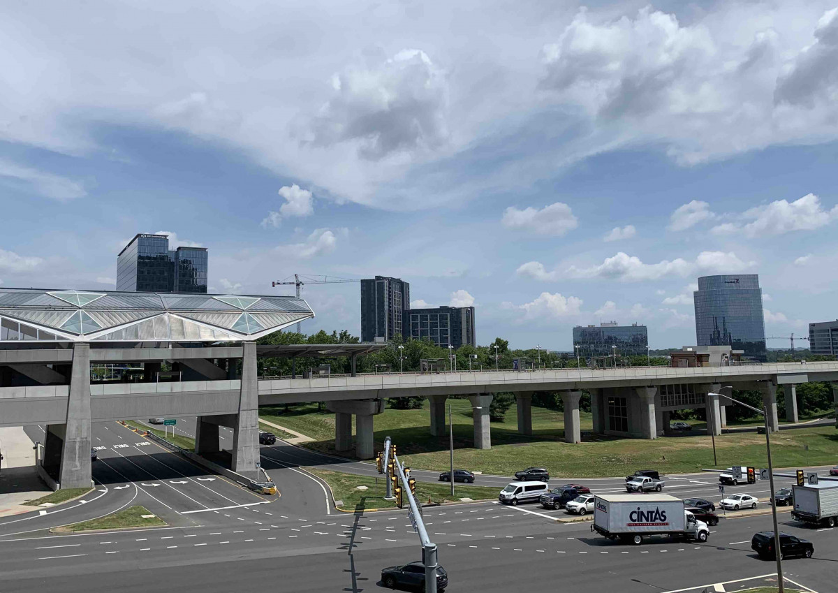
The charette report names a problem: while the Silver Line’s 2014 opening brought much-needed transit to the region, its imposing concrete infrastructure, “creates a visual and functional divide,” especially alongside adjacent high-speed, car-centric roads. The underutilized space under the elevated tracks “could be enhanced to create attractive and interesting places,” the report says.
A conceptual connectivity map in the Tysons Park System Concept Plan shows the potential network that parks and trails in Tysons could form including the Green Artery concept. Conceptual connectivity map by Fairfax County.
The group dreamed up a pedestrian and/or bicycle path that would connect each of the four stations and amenities such as public art, entertainment spaces, urban parks, and pop-up retail. Workshop participants proposed design ideas for the spaces around rail stations from green-covered trellises to art studios in old rail cars. The path would connect to other Tysons trails, creating a network.
The workshop resulted in a list of design principles for the area around and under the Silver Line, with a focus on placemaking, pedestrians and sustainable features.
Design principles from the Silver Line Under/Rail Design Charette by Fairfax County.
Those principles, and the Green Artery concept, are outlined in the Tysons Park System Concept Plan, which was updated last in 2014. But for now, the idea of a pedestrian path along the Metro line is just that: an idea.