Baltimore swapped a car lane for bike lanes on Harford Road. Will the city do it again?

The recently-updated Harford Road. Image by the author.
This past May, Baltimore swapped a car lane for bike lanes on one of the busiest and most dangerous stretches of one of its busiest and most dangerous roads. Some local officials hope the Hamilton Business District streetscape project serves as a model transforming other busy Baltimore streets. Others say the freeway has been turned into a “parking lot.”
The stretch of Harford Road between Echodale and White Avenues on the city’s northeast side used to have four lanes of traffic. The Baltimore Department of Transportation removed one lane and installed a parking-protected bikeway on each side of the street throughout the 4/10-mile corridor (this is known as a “road diet”). It also added the city’s first “floating bus stops,” which enable buses to pick up passengers without exiting traffic.
This new modular platform serves as a floating bus stop on Harford Road. Image by the author.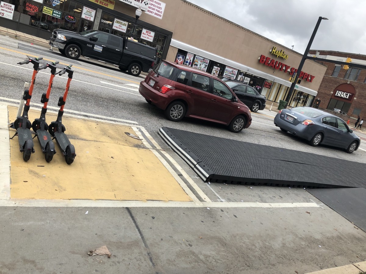
Harford Road is execeptionally dangerous
Even by Baltimore’s car-centric standards, Harford Road is notorious for its wide lanes and frequent crashes. A 2017 map of Maryland MVA car crash data in Baltimore City commissioned by a neighborhood advocacy organization called the Livable Streets Advisory Group showed six crashes on the stretch of Harford Road in the first three months of 2016 alone where the road diet has since been installed.
Map by Livable Streets’ Anikwenze Ogbue. Crash data is from Q3 2017 - Q3 2018. Liveable Streets was started by Maryland Delegate Robbyn Lewis.
Off the top of his head, Baltimore City Councilmember Ryan Dorsey, whose district includes most of the city’s portion of Harford Road, rattled off several businesses on the road hit by drivers over the years: a clock erected in memory of a beloved community member, only to be taken out by a car in 2016; a popular local flower shop whose front was run into; and even a library struck so often by cars that it’s had to remove its vestibule twice.
A driver knocked down this memorial clock. Image by the author.
After a year of unsuccessfully pitching local transportation and planning officials on his proposal for the streetscape project, Dorsey was finally able to move it forward in 2018. He convinced Maggie McIntosh, the Chair of the Maryland House of Delegates’ Appropriations Committee, to set aside (for one year only) $400,000 of the highway revenue Baltimore City annually receives in the state budget.
Construction began in April and most of the work was finished by the end of May, although a couple of finishing touches have taken until early November to complete.
Crashes are down, but some oppose the project anyway
Not unlike many of its DC counterparts, Harford Road’s road diet hasn’t come without opposition. Most notably, Rain Pryor, who’s challenging Dorsey for his seat on the City Council next April, has made criticism of the road diet a substantial part of her campaign since she first announced her candidacy in July. She called the project’s bike lanes “eyesores,” and claimed they’re underused.
Image by the author.
Pryor’s campaign manager, Stefan Walker, has also criticized the road diet. He told the Baltimore Brew in September that “what he’s done on Harford Road is just nonsense…..[Dorsey] basically turned a freeway into a parking lot.”
But for other residents living near that “freeway,” the changes on Harford Road have come as a relief. Robert Walshe, former president of the Waltherson Improvement Association, a prominent area neighborhood group, says it feels like people either love or hate the road diet on social media. Personally, he likes it.
“I want to see this along the whole stretch of Harford Road,” Walshe said. “I also think the whole city would benefit from complete streets. Baltimore can’t compete with suburbs on car oriented design. I’d like to see our roads designed to better accommodate pedestrians, transit, bikes, and scooters for the people who live here.”
Another new modular platform on Harford Road. Image by the author.
A model for other streets?
Even more than reducing the amount of crashes on Harford Road, making it more accessible to other modes of transportation could be the greatest impact of the Hamilton streetscape project in the long run. Dorsey says when he first drew up the proposal, he intended it as a blueprint for Complete Streets-based road redesign to be used throughout Baltimore, just as much as he intended it for its primary purpose.
Dorsey cited Park Heights Avenue in Northwest Baltimore and Edmondson Avenue in West Baltimore as two streets which could benefit from similar improvements.
“This is not just one segment of Harford Road, which is an entire corridor that could stand to have the same treatment but Harford Road is just one street,” Dorsey said. “It absolutely serves as a proof of concept for how other corridors could be transformed.”