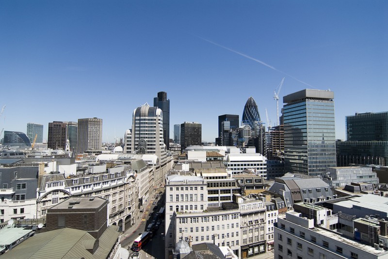
National links: London could ban cars and slash speed limits in its core

London by Jon Hanson licensed under Creative Commons.
London is mulling a radical plan to ban cars and/or lower speed limits to 15 mph in much of the city. These satellite images show urban areas in bright colors that expose interesting details. New York City keeps putting off difficult but vital projects in favor of easier cosmetic ones.
Radical plans to improve road safety: New plans from the City of London in England, colloquially known as “The Square Mile,” would drastically reduce the danger of vehicles in the core city either by banning them outright on certain streets or by lowering speeds to 15 mph. Inside the city, streets closed to vehicles will be pedestrian priority zones that allow bicycles, so long as they yield to people walking. (Magda Ibrahim | Evening Standard)
Urban details in satellite images: All over the world, cities represent a changing of the natural order. In their new book City Unseen: New Visions for an Urban Planet, Karen Seto and Meredith Reba look at satellite images from 100 different cities around the world to explore their impacts on the landscape. They use remote sensing to show the health of vegetation and stark differences between human settlement and unchanged lands. (Karen Seto and Meredith Reba | Next City)
Wrestling with Moses once again: The Brooklyn Queens Expressway (BQE) in New York is headed for a long reconstruction job, but the wealthy community that abuts the project is fighting tooth and nail to avoid disruption. For years, the city has caved on delaying infrastructure projects while easier and less vital ones were pushed to the front of the queue. The best solution could be congestion pricing and reducing the need for reconstruction of a large road altogether. (Ginia Bellafante | New York Times)
Does walkability trump transit access in land values?: A panel of developers and investors at the Urban Land Institute fall meeting in Boston believe that new mobility services are going to increase the attractiveness of walkable areas and decrease the potential value of transit-oriented development over time. With transit ridership falling and new mobility ascendant, there might be a change on the horizon. (Kevin Brass | ULI)
Greener roads in an automated vehicle future: University of Minnesota researchers are thinking about how the urban design of cities would change with autonomous vehicles dominating. Researchers believe AVs will be able to drive on narrower roads, so they envision more green space in alleys, parking lots, and more pervious surfaces for water filtration. (Nicole Norfleet | Minneapolis Star Tribune)
Quote of the Week
“We don't go to New York because it's technically illegal to use a scooter at the state level. Where there's no laws, that's where we go in.”
Bird scooters CEO Travis VanderZanden discussing thier controversial process for starting service in cities.
This week on Talking Headways, we chat with Chloe Spano of Cityway about using data for better mobility. She talks about how Paris was able to reduce single occupancy vehicles in the core with better data.
