What does a regional trail network in Washington actually look like?
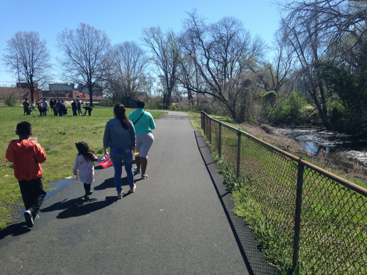
Image by the author.
Until now, it has been difficult to see how the region's travels connect to each other. A new map from the Capital Trails Coalition solves that.
Trails like Four-Mile Run in Arlington; the Washington, Baltimore & Annapolis in Prince George’s County; and the Marvin Gaye Trail in Washington all help people stay active, connect neighborhoods and workplaces, and support sustainable modes of transportation. Unfortunately, most of the time jurisdictions build their own trails without considering the greater network they feed into.
Many maps, little coordination
Many jurisdictions in the region also put together their own trail maps without consulting their neighbors. For instance, Fairfax County has an online and a print map, the District has a print map, and Montgomery County's online map shows the “Level of Stress” that people experience on specific routes while bicycling.
While these maps are helpful for learning about local trails, they all end at the jurisdictional boundaries, making it difficult to show whether there are connections from one jurisdiction to the next. So how does a person bicycling travel from Montgomery County into Prince George’s County? Where is the connection between the City of Alexandria and Arlington County? And what is the quality of those connections?
The Capital Trails Coalition, a group advocating for a comprehensive network of high-quality trails in the region, has envisioned and mapped ways for people people to walk and bicycle through Maryland, Virginia, and DC. Their map shows how existing and planned trails can create a safe, accessible, and convenient network that connects all parts of the region together and will help provide healthy, low-stress access to open space and reliable transportation for people of all ages and abilities.
A regional trails map for the Washington DC metropolitan area. 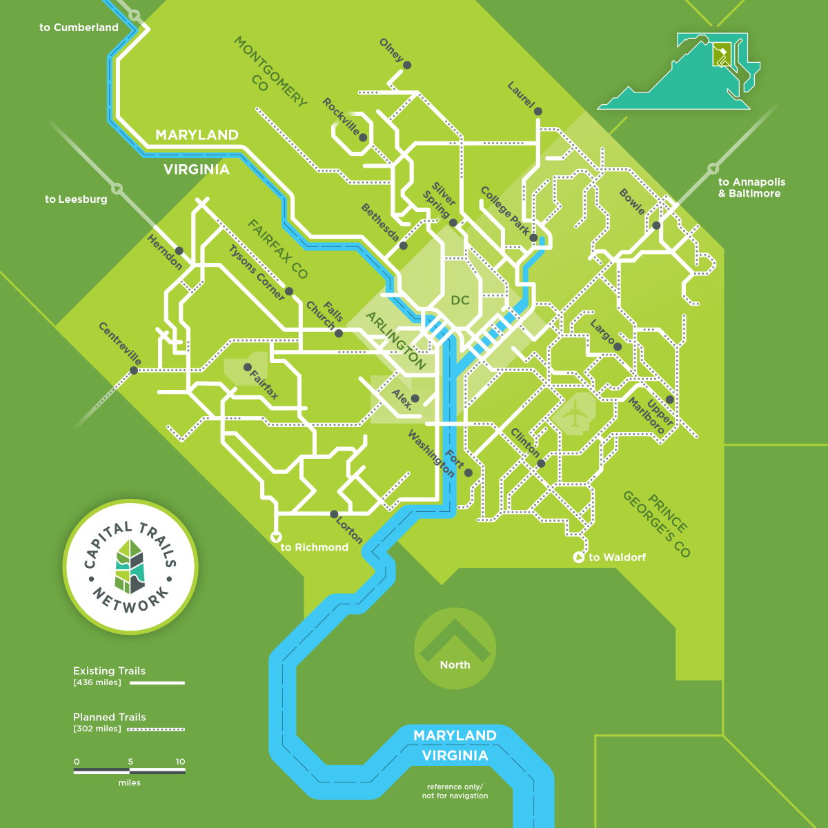
One trail network to connect them all
To create the Capital Trails Network, the coalition consulted the Rails to Trails Conservancy and all the local jurisdictions in the region to identify existing trails, trails that are being constructed, and trails that are listed in local plans and have been approved by the locally elected officials. The coalition then worked with these communities to further refine the list, making sure that all planned trails can feasibly be built and are more than just lines on the map.
The Capital Trails Network will be built to the highest standards, so there are many existing trails that were not included in the network because they didn’t meet the criteria for high-quality trails. That criteria includes width, hard surfaces, and consistent design standards that comply with the Americans with Disabilities Act guidelines and connect to other trails or destinations, among other criteria.
The Capital Trails Network is a key step to actualizing a regional walking and bicycling network. While each trail is important, having all trails in a comprehensive network is greater than the sum of its parts and will help support safe, healthy, and equitable active transportation in the region.