Here are the answers to whichWMATA week 128
On Tuesday, we featured the 128th challenge to see how well you know the Metro system. Here are the answers.
This week, we got 18 guesses. Seven got all five right. Great work, AlexC, Peter K, Justin…, Greg Jordan-Detamore, Christopher Deal, Ginger, and MtPDC!
Image 1: White Flint 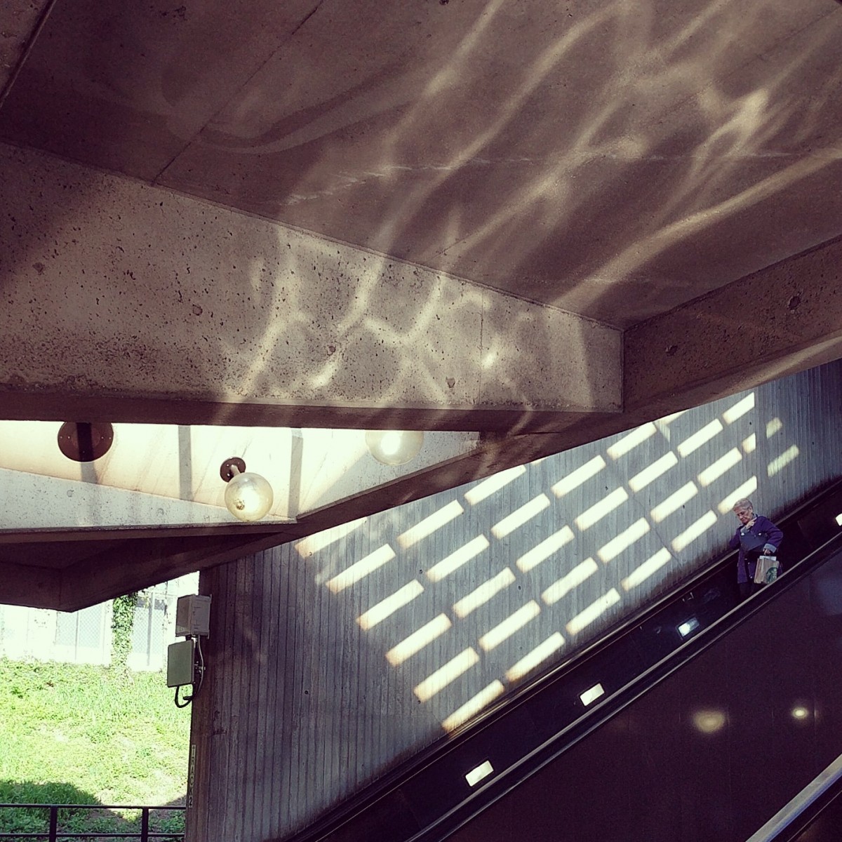
The first image shows an interesting web of light and shadow at White Flint. There were a couple of clues here. First, it appears, based on the grass embankment in the background, that this station is in an open cut. Additionally, the location of the two escalators against the platform edge (with the elevator in between though not visible here) means that the station has an entrance at one end, as opposed to somewhere in the middle of the platform. Few outdoor stations have this feature. Finally, the flared support beams holding up the “general peak” roof are distinctive to White Flint and Naylor Road.
Twelve of you knew this one.
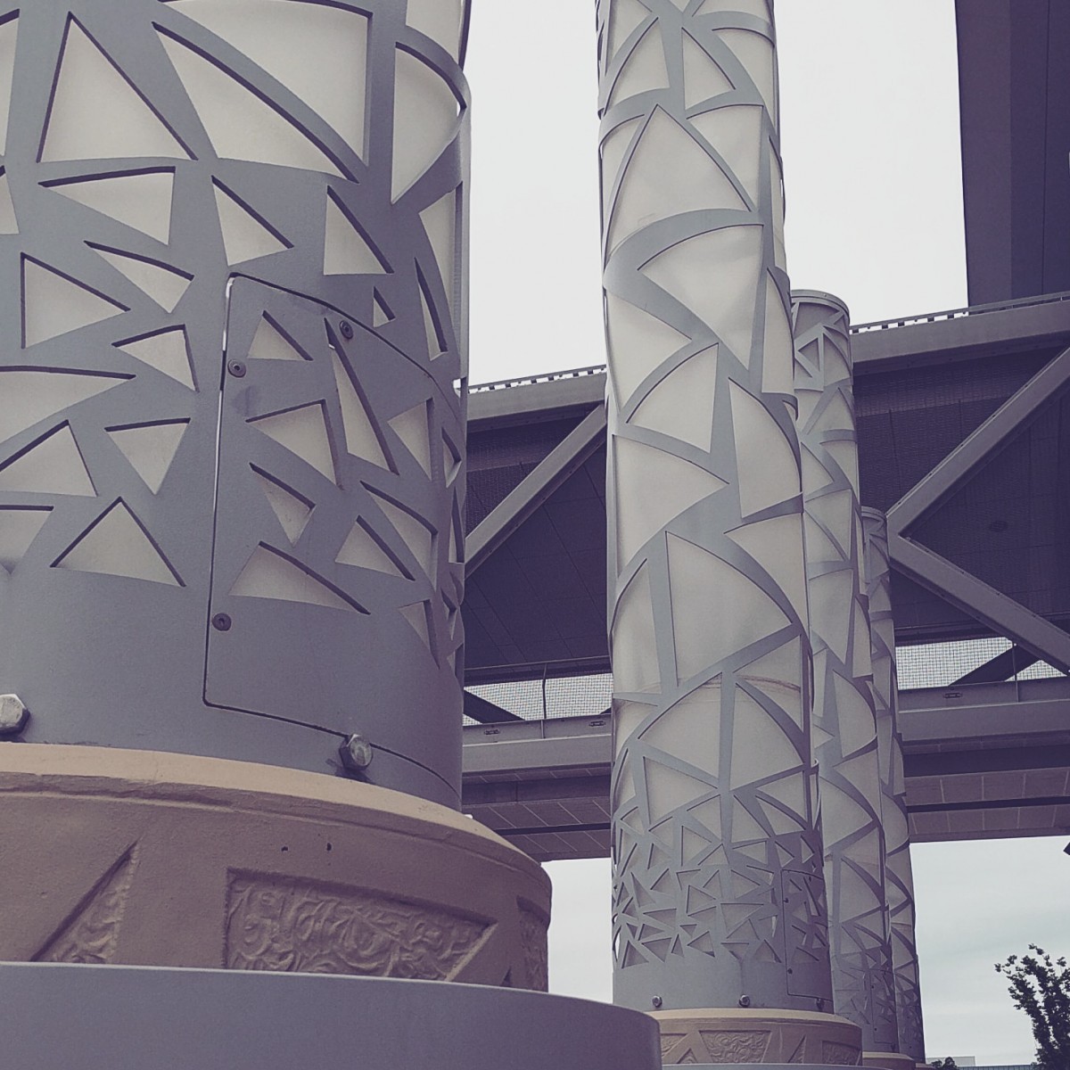
Image 2: Greensboro
The second image shows some art outside the western entrance to Greensboro station. You should have immediately been able to recognize the Silver Line architecutral styles to narrow this down to one of five stations. Figuring out which one either came down to recognizing the art or using Google street view or other tools to do some research.
Fourteen of you got this one right.
Image 3: Gallery Place 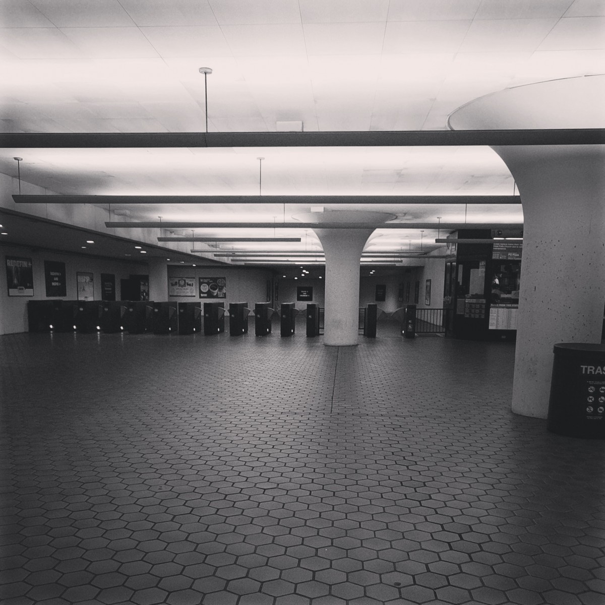
The next picture shows the mezzanine underneath the Verizon Center at Gallery Place. These faregates serve the 7th and F entrance and the large space is there to handle crowds arriving following events at the arena above the station. Because this is a popular station for regular and irregular riders alike, I expect that most of you solved it by recognizing the mezzanine. Other clues indicate that it was enlarged sometime after the station was built, meaning that Navy Yard and Mount Vernon Square could be candidates, but their mezzanines are different.
J-Train-21 noted that some text is visible above the station manager's booth if you look really closely. And that text says “Prince George's Plaza”. However, that is not the name of this station. That text is on the flatscreen television that displays service notifications, and in this case, it's noting that the elevator at Prince George's Plaza is out of service (for a capital improvement project), and shuttle bus service is provided from a different station.
Thirteen of you figured this one out.
Image 4: Ballston 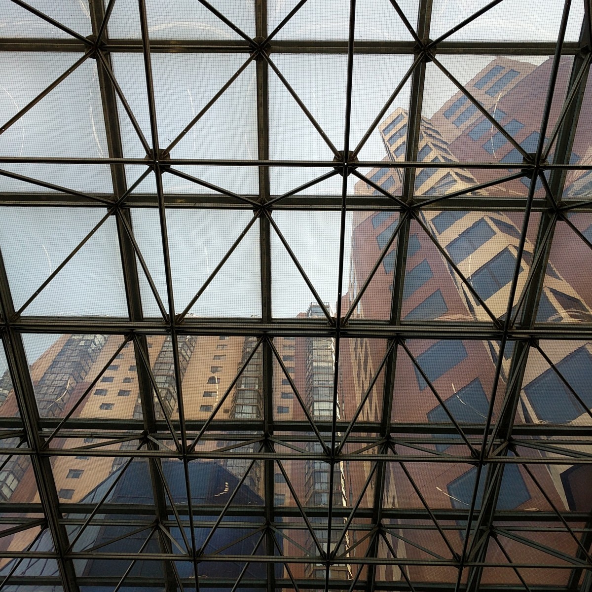
The fourth image shows a view looking up through the escalator canopy at Ballston. The structure housing the commuter store is visible at bottom left. In addition to the unique escalator canopy, some of you likely recognized the buildings visible.
Fourteen of you guessed correctly.
Image 5: Bethesda 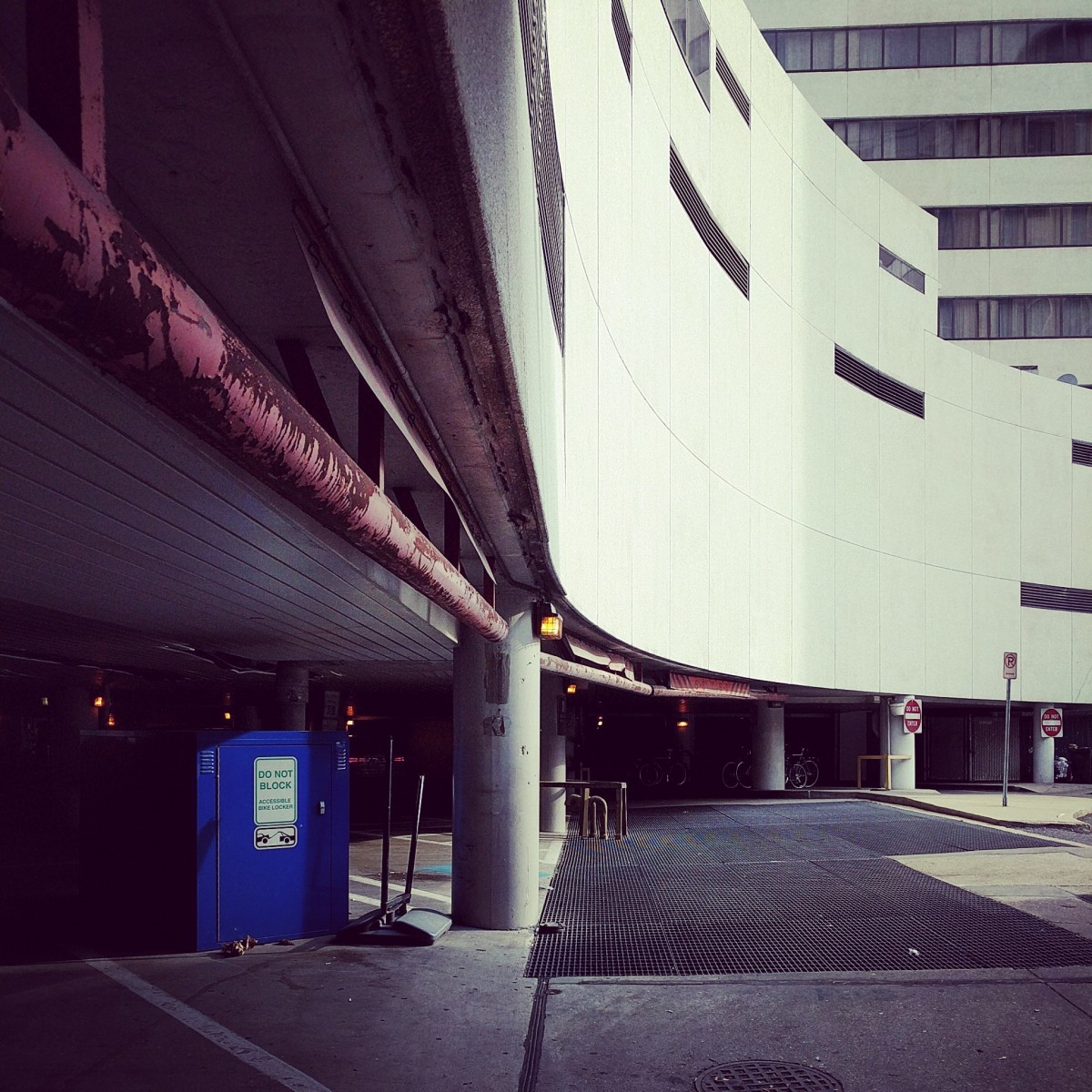
The final image shows the somewhat uninviting southwestern entrance to Bethesda station. This view is what people entering the kiss and ride see as they enter off North Lane. The Bethesda Metro Center complex sits above the bus loop and station entrance, and that's the structure visible above the dark entryways. The Bethesda Hyatt is also visible at top right, which may have helped you recognize the setting, even if you've never entered from this side.
Thirteen of you came to the correct conclusion.
Great work, everyone. Thanks for playing! As usual, we're taking a break from whichWMATA during August. We'll be back in September with challenge #129.
Information about contest rules, submission guidelines, and a leaderboard is available at http://ggwash.org/whichwmata.