Have you seen these Metro maps? We made a book!
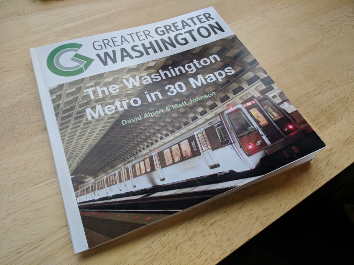
Greater Greater Washington readers love Metro maps. Over the last 10 years, we've featured a bunch of custom Metro maps on the site, from time-lapses of its development and sketches of future expansion to parody maps. Now, you can see them in print on your table too!
Donate to our reader drive today and get our new book
In honor of our 10th anniversary, we made a book of some of the best custom Metro maps you've seen on GGWash, and a few others as well.
Want a copy for yourself? Donate today! Just $10 a month or a $50 one-time donation gets you your own copy of the book.
What's inside?
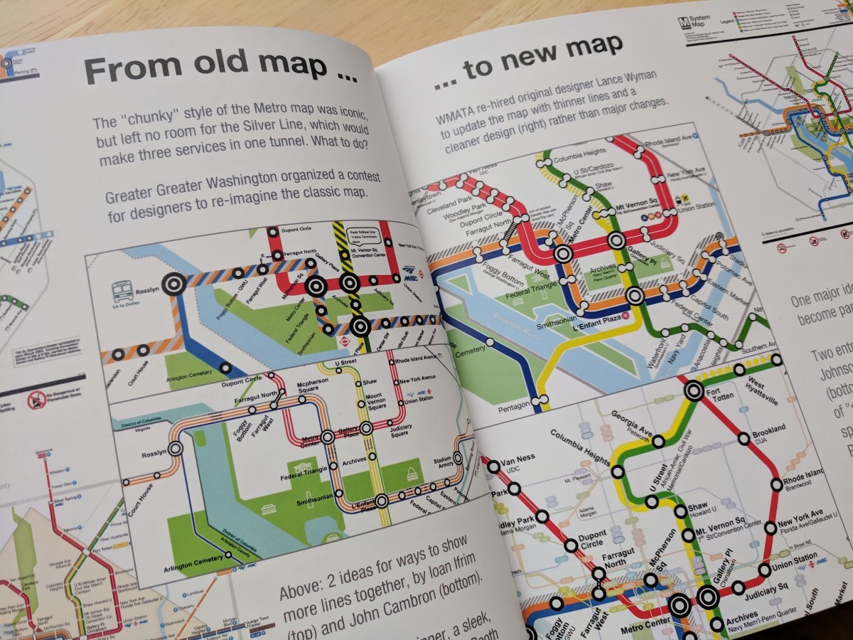
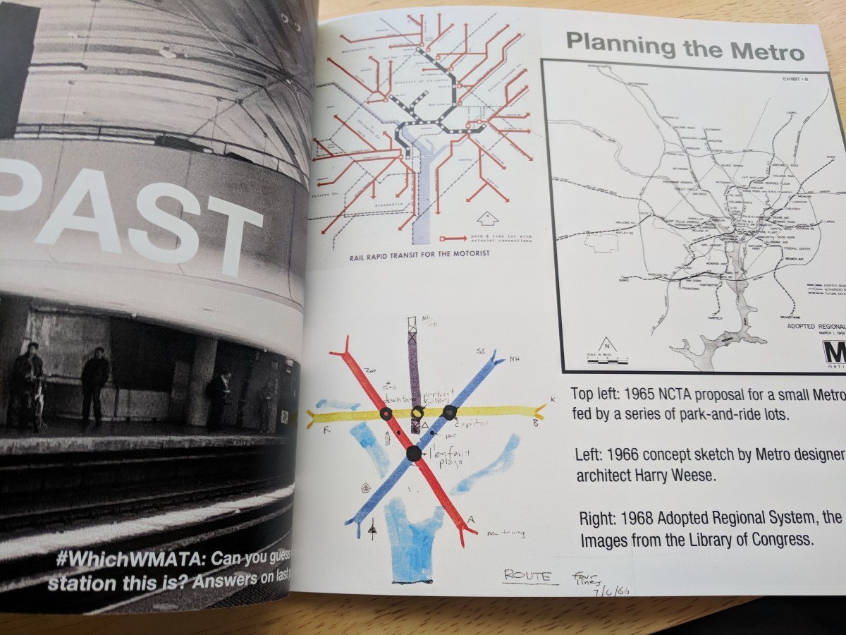
Original Metro concept sketches from the 1960s. A decade-by-decade look at how Metro has expanded over the last 40 years. The 11 types of Metro station architecture. And creations from the late transit graphic designer Peter Dovak, including his last piece of work for GGWash, the Halloween version of the Metro map.
Like WhichWMATA? You'll get a bonus analog version of the online quiz. (Sorry, it doesn't count toward your cumulative score!)
Why your support matters
You know that GGWash serves a unique niche in Washington's media landscape. If you turn to GGWash for wonky, policy, data-driven news about the housing, transportation, land use, and urban policy decisions happening across the region, please help pay for it.
Donations from readers are an important part of our budget. Your individual contributions help pay for costs to keep the site up and running, including having a full-time editor. Your support also means we can bring you local elections coverage through an urbanism lens and advocate for smarter urbanist policies.
Thank you for your support!