See Google’s brand new satellite images of the Washington region

New images from December 19 show the Downtown Holiday Market in full swing. Image by Google.
Google Maps now has brand new satellite images for the Washington region. The new photos, from December 19, 2016, show a cutting-edge view of our city.
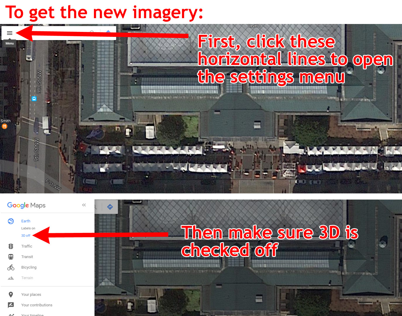
The new images only appear with certain settings. If you're viewing in the default settings, you still get older photos. Here are instructions for how to change your browser settings to get the new imagery.
Also, the new pictures only cover part of the region; imagery for the Dulles Airport Metro station, for example, is from April.
Here are some highlights
The Georgia Avenue bus lanes, in all their red glory:
Image by Google used with permission.
The National Museum of African American History and Culture:
Image by Google used with permission.
Construction at Capitol Crossing, atop I-395:
Image by Google used with permission.
Preparations for inauguration on Pennsylvania Avenue. And are those moving trucks on the White House driveway?
Image by Google used with permission.
MGM casino at National Harbor:
Image by Google used with permission.
Takoma-Langley Crossroads transit center:
Image by Google used with permission.
The Wharf, at the Southwest Waterfront:
Image by Google used with permission.
And finally, the hole where the Washington Post used to be:
Image by Google used with permission.
What else can you find that's new?
 Cross-posted at BeyondDC.