Annapolis gets on board with open transit data
Many transit agencies around the Washington region and the nation have published their routes and schedules online in formats that apps and web tools, including Google Maps, can use. Now, Annapolis is joining the club.
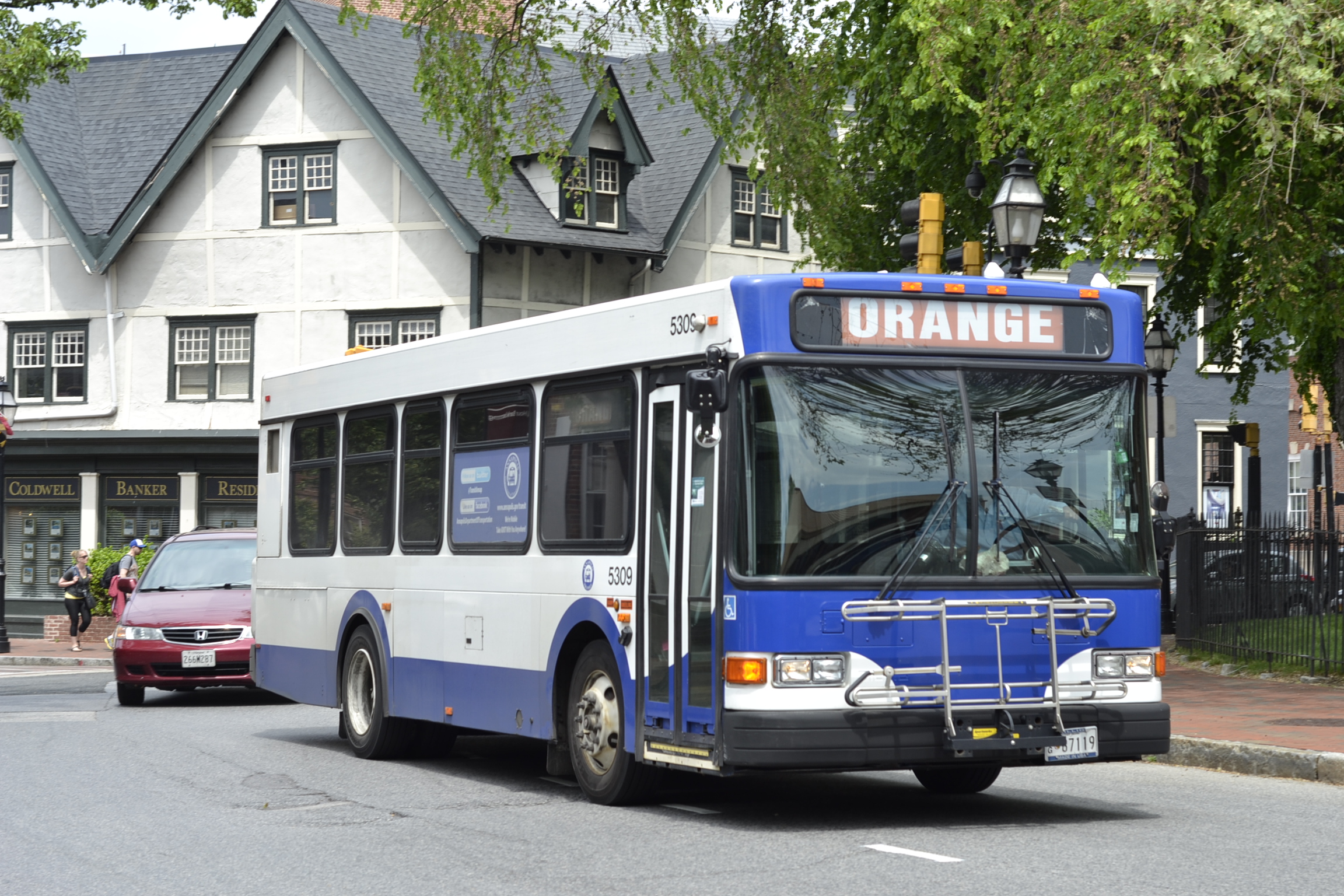
Photo by Frida Archibold.
The General Transit Feed Specification (GTFS) is a format for computer-readable files that list all of a transit agency’s routes and schedules. Google and Portland’s TriMet created the format so Google Maps could include transit directions, but it’s open and public, so anyone can write software that uses the data, and many other people have developed their own apps.
For example, the Car-Free A to Z tool, which lets people compare various options like driving, driving to transit, biking to transit, transit to Capital Bikeshare, and so forth, uses GTFS files for the transit portion of its data.
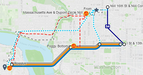
Image from Car-Free A to Z.
WMATA released GTFS files for its services in 2009, and became part of Google Maps in 2011, Since then, most regional transit agencies have followed suit.
A new feed for Annapolis Transit will let users of Google Maps and the other tools that use GTFS files plan trips on Annapolis’ eight bus lines.
New tools help small transit agencies use GTFS
Small agencies, like Annapolis’, don’t have big IT departments. Some transit agencies even plan bus service with spreadsheets instead of dedicated transit planning software. They may not have the resources to make GTFS files and keep them up to date as schedules and routes change.
Luckily, tools are emerging to help small agencies. One such tool is GTFS Builder, a product of the FTA’s National Rural Transit Assistance Program.
GTFS Builder is a simple set of Excel workbooks that compiles information like schedules, routes, and fares, and processes them into GTFS files. These workbooks allow transit agencies to digitize their data using Excel that agency staff are already familiar with.
Maryland gets a statewide program to make GTFS files
One of Maryland’s Transportation Demand Management agencies, called TRIP, is taking open data one step further, running a program to help Maryland’s transit agencies publish data to GTFS.
All data created through the TRIP program is open to software developers and available on the TRIP website.
So far, Annapolis Transit and the Regional Transportation Agency of Central Maryland have published data via TRIP. Others are sure to follow.
Having interactive transit information that includes schedules, fares, and bus stops available online is a prerequisite for many potential transit riders to learn how and when they can ride. GTFS files, and participation in tools like Google Maps that result, can encourage new people to try transit.
The more agencies join, the better.