Prince George’s County has a new zoning ordinance!

The Prince George's County Council voted to approve a new zoning ordinance and subdivision regulations during the October 23, 2018 Council Hearing. Image by Brittney Drakeford used with permission.
On October 23, the Prince George’s County Council voted to approve a new zoning ordinance—a significant achievement for the county and a big step towards building sustainable and resilient communities. It also approved new subdivision regulations, an updated landscape manual, and a process to re-zone the entire county.
The ordinance includes new zones for encouraging mixed-use development and higher densities at transit stations. It rightsizes parking lots by reducing the minimum amount that's legally required. It also establishes development standards so that new projects are designed better and emphasize connectivity.
This was the county's third attempt to update the zoning ordinance within the past decade, and this vote is the culmination of a years-long project to draft a modern development code that is reflective of its diverse neighborhoods and their needs.
What does the new zoning code mean for residents?
A new zoning ordinance was the first objective listed in the county’s general plan, Plan Prince George’s 2035, because it will help the county achieve the rest of its goals and influence how the county will develop for decades to come.
The new code will be most evident in the neighborhoods that the general plan identified as transit areas or activity centers. They'll receive new zones that have specific provisions to leverage transit infrastructure and build town center-esque projects. These areas could get more sidewalks connecting to adjacent properties and to transit, less area dedicated to parking, smaller front setbacks with wider sidewalks to encourage walking, small areas in urban centers for parks or other open space, and higher densities to make it easier to support a wider variety of businesses.
Most single-family dwelling neighborhoods will see few changes, because the new residential zones have been largely maintained from the old ordinance. However, all new development will have to meet new development standards that include green building features, environmental and noise protections, fences, and exterior lighting.
Once the new code is active, developments and buildings will be required to meet the new standards listed in the ordinance, so the features and placement of buildings will be different from what is traditionally built in the county. These changes won’t happen overnight, and it will likely take years before the change will be readily apparent.
A page from the newly-approved zoning ordinance showing development standards for multifamily buildings. 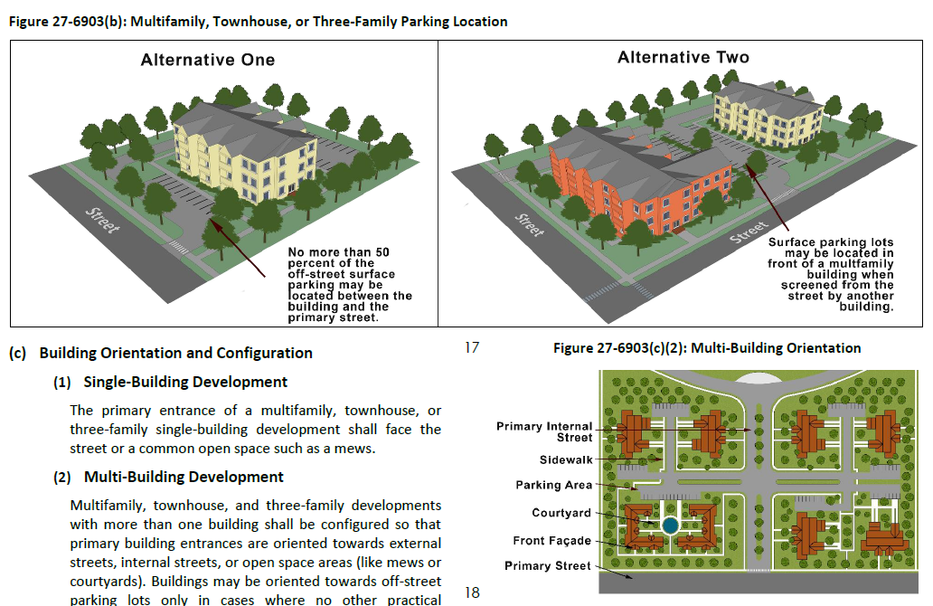
The new ordinance simplifies the tables that show what “uses,” or types of development, are permitted (think residential, industrial, etc.) It eliminates obsolete uses, consolidates similar uses, and categorizing all of them into general and intuitive categories. It clarifies all of the uses by including a definition for each one, thus removing the possibility for multiple interpretations.
The landscape manual was also recently updated to align with the new zoning ordinance—it also improves the county's ability to plant trees in urban areas. Lastly, the process for a new countywide map amendment was approved, representing the next phase in the county’s new development code.
We've written a lot about this code. Here's how things panned out.
Higher densities for neighborhoods adjacent to transit: While the approved ordinance does increase the current residential density limits, it doesn't further increase the by-right densities beyond what was originally proposed as GGWash advocated for. Nor does it use alternative methods to achieve density, such as using density minimums instead of maximums, or calculating density as Floor Area Ratio instead of dwelling units per acre (which allows for more flexibility).
However, the new code uses densities that reflect the recommended densities in Plan 2035 and there is a Planned Developmnet option, where a developer could build higher densities, but would need to include other community benefits.
Exempting development in transit-oriented areas from certain requirements: The original proposal for the ordinance exempted new development in the transit-oriented zones from having to meet the transportation adequte public facilities requirements. This would encourage more development in areas near transit stations, because there would be fewer transportation improvements required of the developer.
The adopted ordinance does not include this exemption; instead, it increases the threshold for traffic allowed in these zones before developers are required to build automobile infrastructure projects. Regardless of the automobile traffic levels, all new projects in these zones will be required to build pedestrian, bicycle, and transit access improvements.
Lowered parking minimums: While the old code required traditional suburban amounts of parking, the initial draft of the code proposed zero parking minimums in the transit-oriented zones and reduced parking requirements for developments inside the beltway.
The approved code has kept most of these improvements. Parking minimums are reduced for developments inside the beltway and there are zero parking minimums in the transit zones for all but a few uses.
What's the next step for the zoning code?
The new ordinance won't be active until the countywide map amendment is completed, so in the immediate term, it won't have much impact. The next step to make the zoning ordinance active is to implement the Countywide Map Amendment process. Right now all of the new regulations in the zoning ordinance are tied to the new zones, which haven’t yet been applied.
The Council just approved CB-14, a bill to initiate the map amendment process. Sometime next year, the Council will adopt a resolution to identify how the countywide map amendment will work and implement the steps necessary to rezone the county. While the timelines are not yet set in stone, it is expected that this process will take one to two years.
The zoning ordinance passed with an 8-1 majority. Many of the councilmembers voting in favor of the bill indicated that the bill is a positive step for the county, but will need further refinement to address some of the remaining concerns that the public, the development community, and others have voiced to councilmembers. It’s likely that once the new ordinance is effective, there will be additional amendments to correct errors along with any provisions that were drafted with the right intent but the wrong language.
The county will continue to engage with and educate the public regarding the new ordinance. Residents and community members who are interested in learning about it—and about how planning and zoning work more broadly in Prince George’s—can connect the planning department at ZoningPGC@ppd.mncppc.org.