Here are the answers to whichWMATA week 112. How’d you do?

On Tuesday, we featured the 112th challenge to see how well you knew the Metro system. Here are the answers. How'd you do?
This week, we got 39 guesses. 24 got all five. Great work!
Image 1: NoMa 
The first image shows NoMa station, seen from an Amtrak train leaving Union Station. This was a very easy station to identify. In the foreground, you can see four tracks, part of the Union Station throat, along with new urban development behind the station. The Gull II station canopy keeps a distinctive low profile, and only three stations have this type.
All of you got this one right. Great work!
Image 2: National Airport 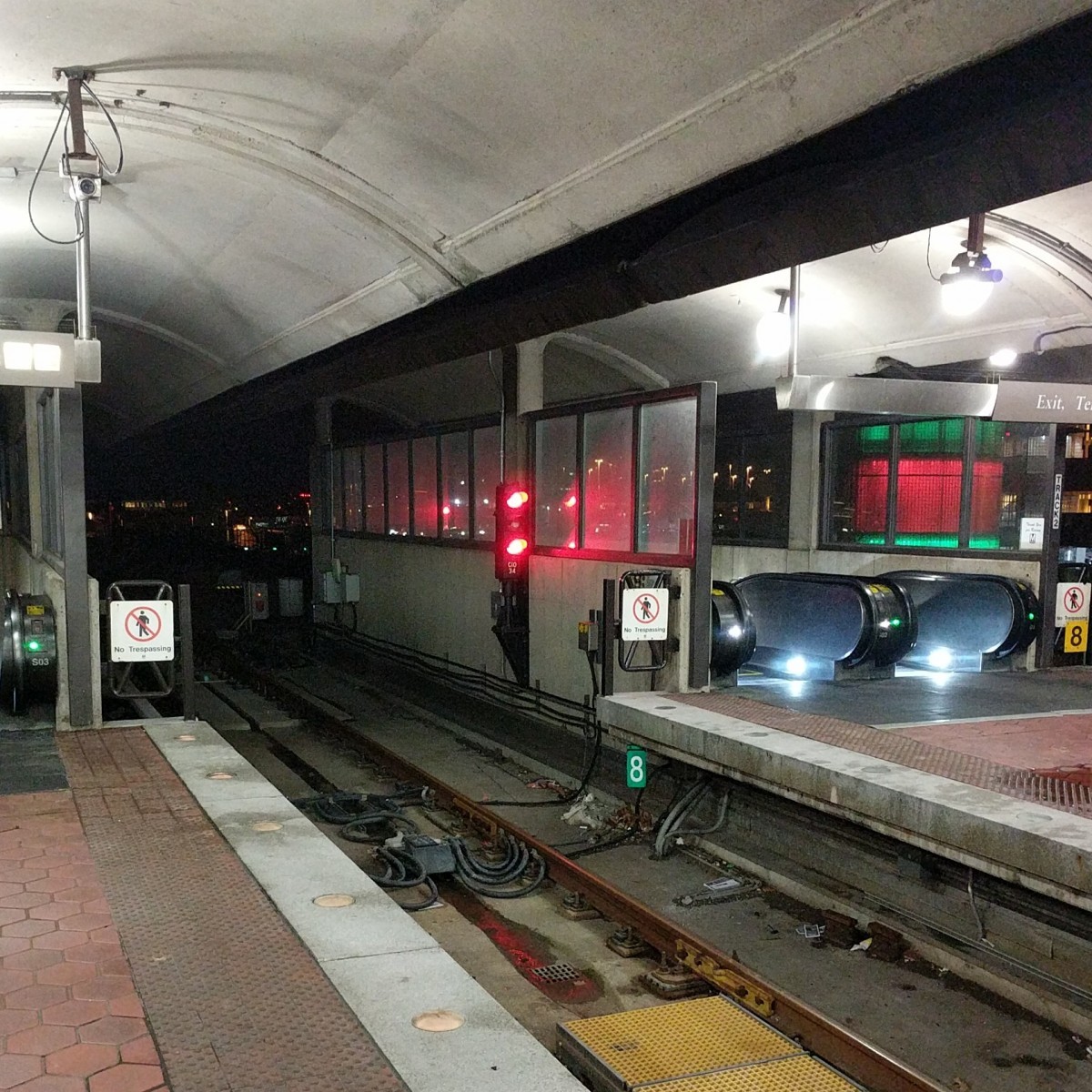
The next picture was taken at National Airport. This one was also pretty straight forward. One major clue is the track in the foreground, which has platforms on both sides. There are only two stations in the system with a center track adjacent to a platform on both sides: National Airport and West Falls Church. The other clues included the narrow platform and the dual escalators which take up the entire width of each platform. The modified Gull I canopy is also unique to National Airport.
Other minor clues include the DCA parking decks, decorated here in red and green for Christmas, and the square terminal “A” and “B” signage on the right side of the sign at upper left. All but one of you got this one right.
Image 3: Tysons Corner
The third picture shows the view looking north from the mezzanine at Tysons Corner station. This is a Gambrel style canopy, which only three stations have currently (though the second phase of the Silver Line will bring several more). Checking Google street view could have helped you identify the buildings in the distance. But even without that, the height and context should have discounted Greensboro and Wiehle Avenue.
36 of you figured it out.
Image 4: Capitol Heights 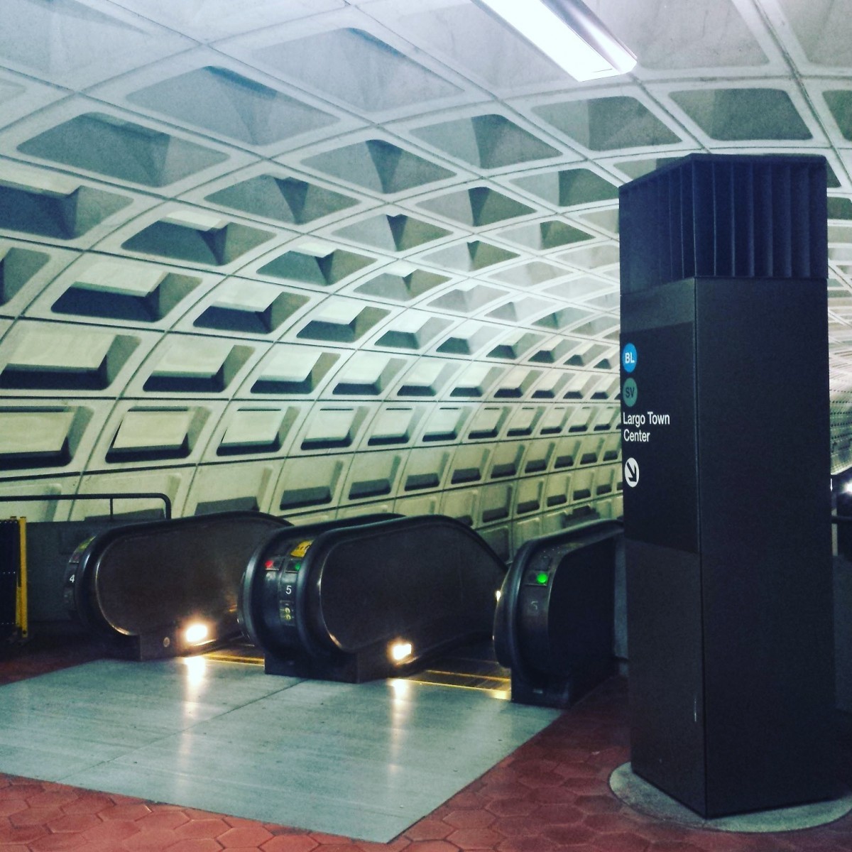
The fourth image shows Capitol Heights station. This one was very tricky, because there weren't many clues. The only two underground Blue and Silver (but no Orange) stations are Benning Road and Capitol Heights. Those two stations are almost identical. However, there's one key difference: at Capitol Heights the entrance is at the western (inbound) end of the platform. At Benning Road, the entrance is at the eastern (outbound) end of the platform.
That means that at Capitol Heights, when facing the escalators down to the platform, the Largo track is to the right. It would be to the left at Benning Road. We discussed this in the answer post for week 56 and week 82.
26 guessed Capitol Heights.
Image 5: Rosslyn 
The final image shows the western mezzanine at Rosslyn. There are a couple of clues, including the glass wall around the fare-paid area, the position of the mezzanine PIDS, and the U-shaped unpaid area (you can see the other side across the mezzanine. But the primary clue here is the configuration of the escalators. There are four escalators visible here, which you can see if you look very closely. Only Rosslyn has four parallel escalators. But the other big clue is the large gap between the two pairs of escalators. That gap is there to accommodate the former escalator shaft, which lands between the two sets closer to the lower landing.
31 came to the correct conclusion.
Great work, everyone. Thanks for playing! We'll be back soon with week 113.
Information about contest rules, submission guidelines, and a leaderboard is available at http://ggwash.org/whichwmata.